High-Precision 3D Laser Scanning Services
Explore our 3D Laser Scanning Services! Our cutting-edge and precise laser scanners empower us to measure any environment for various scopes. We offer the delivery of point clouds in a variety of formats, including the following:
E57, RCP, XYZ, STL, LAS and more..
We employ diverse 3D laser scanners to capture detailed information of existing objects. Through point cloud surveys, we ensure the acquisition of accurate and comprehensive data, regardless of the project’s scale or complexity,
Get a quote for your 3d scanning!
what can be 3D Scanned?
What is 3d laser scanning?
3D scanning is the process of analysing a real-world object or environment to collect three dimensional data of its shape and possibly its appearance (e.g. color). The collected data can then be used to construct digital 3D models.
Laser Scanners, using infrared technology, quickly capture millions of data points, creating precise 3D images in minutes. Reflections off objects provide accurate geometry data for precise measurements on both horizontal and vertical planes. This technology excels in capturing fine details and intricate shapes, swiftly producing highly precise point clouds
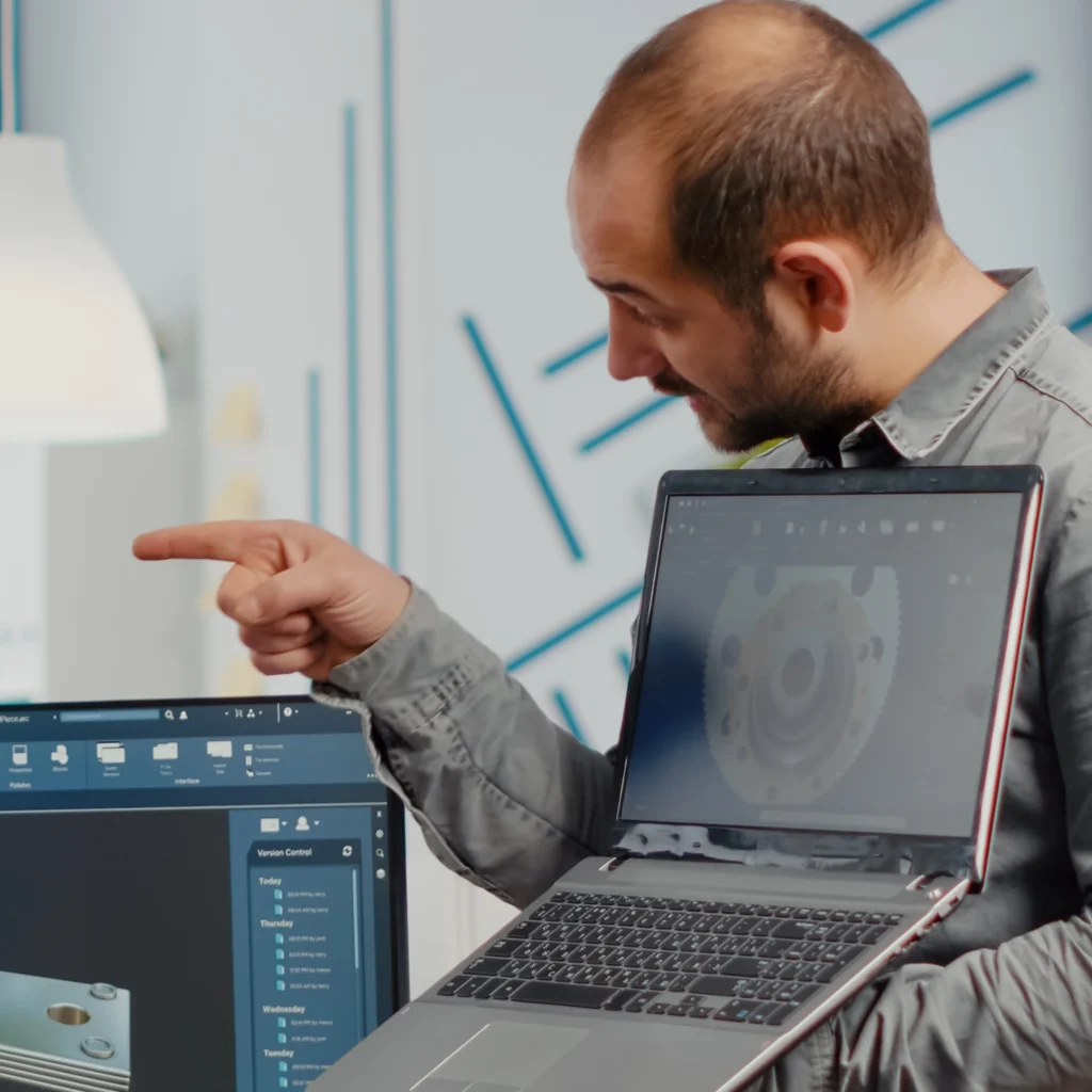

3D laser scans for diverse industries and markets across London
We deliver accurate and comprehensive 3D laser scanning surveys in various settings, including:
- Architectural & Civil Engineering
- Site Surveying
- Heritage & Historical Preservation
- Crime Scene Documentation
- Crash and Accident Scene Reconstruction
get a quote now!
WHY DO A 3D LASER SCAN BY ACCURATE MBS
Time-saving
3D laser scanners rapidly capture millions of points, expediting project initiation and decision-making.
Accuracy
With unmatched precision, 3D laser scanners produce detailed point cloud data for reliable 3D models, reducing errors in construction projects.

Economical
By minimising errors and rework, 3D laser scanning ensures better coordination, efficient schedules, and budget management in construction projects.
Level of detail
Providing intricate details and dimensions, 3D laser scanners offer digital records for efficient design modifications and ongoing maintenance.
The Foundation of Our Excellence
Our Vision
is to be the premier land survey company, setting the industry standard for accuracy, innovation, and customer satisfaction.
Our Mission
is delivering precision and expertise to empower our clients with the knowledge needed to make informed decisions about their land and development projects.
Our Value
We believe in fostering a work environment that encourages personal and professional growth, enabling our team members to provide the highest level of service to our clients.
How to get started?
Fill in the form or contact us by email.
The more information you provide, such as the address, requirements, floor plans, and photos, the better we can tailor our service to your needs.
After receiving your information, we'll promptly review and send you a fixed price quote.
Upon your acceptance of the quote, we'll schedule an on-site visit to measure the building.
Once on-site work is complete, we'll move forward to the CAD phase of the project.
Rest assured, we'll deliver the drawings within the agreed-upon deadline, ensuring your project progresses smoothly.

Frequently Asked Questions about
3d laser scanning (FAQ)
Most frequently asked questions and our answers to them.
3D laser scanning is a highly accurate technology used to capture detailed three-dimensional data of physical spaces, objects, or structures. It is commonly employed in industries such as construction, architecture, and surveying for creating precise digital models of real-world environments. Here’s how it works:
- Laser Emission: 3D laser scanning works by emitting laser beams that scan a surface. These beams bounce back to the scanner after hitting the surface.
- Data Collection: The scanner calculates how long it takes for the laser beam to return (called Time of Flight) and also captures the angle of the beam. This helps determine the exact distance and orientation of each point on the surface.
- Point Cloud Generation: The scanner collects thousands to millions of points, creating what’s known as a “point cloud.” Each point represents a specific 3D coordinate in space, forming a highly accurate digital representation of the scanned object or environment.
- Data Processing: A technician processes the raw point cloud data by cleaning, aligning, and registering the points to create a cohesive 3D model.
- 3D Model or 2D CAD Creation: After processing the data, we can deliver the registered point cloud in formats like RCP, e57, and others or go a step further by creating detailed 2D CAD drawings or 3D models using software like Revit, AutoCAD, or SketchUp.
At Accurate MBS we specialise in measured building surveys and 3D laser scanning services. We can produce the following detailed deliverables:
1. 3D Point Cloud – we can deliver the registered point cloud in any format:
RCP
E57
XYZ
STL
LAS
And more..
2. As-Built 2D CAD Drawings: Detailed drawings including:
Floor plans
Roof plans
Site plans
External elevations
Internal elevations
Cross-sections
3. 3D Models: High-quality models created using software such as:
Revit
SketchUp
ArchiCAD
Vectorwors
4. Orthophotos: Accurate aerial photographs that are geometrically corrected to ensure consistent scale and detail.
At Accurate MBS, we handle a wide range of projects using advanced laser scanning technology. Our expertise spans various industries, ensuring we can meet the needs of any project, big or small. Our capabilities include:
1. Buildings and Structures
Applications: Measured building surveys, as-built documentation, heritage preservation, and renovation planning.
2. Construction Sites
Applications: Progress tracking, clash detection, and ensuring construction matches design specifications.
3. Industrial Facilities
Applications: Industrial design, facility management, and retrofitting of machinery or equipment.
4. Historical and Heritage Sites
Applications: Heritage preservation, restoration planning, and detailed documentation for conservation.
5. Infrastructure and Civil Engineering Projects
Applications: Infrastructure inspection, safety assessments, and planning for repairs or expansion.
6. Topographical Features
Applications: Topographical surveys for land development, environmental studies, and site planning.
7. Mechanical Parts and Machinery
Applications: Reverse engineering, product development, and component inspection.
8. Vehicles
Applications: Automotive design, custom fabrication, and accident investigation.
9. Complex Geometries and Curved Surfaces
Applications: Architecture, custom fabrication, and artistic installations.
10. Virtual Reality (VR) and Augmented Reality (AR) Environments
Applications: VR and AR in architecture, real estate marketing, and training environments.
The cost of a laser survey can vary widely depending on several factors, including the size and complexity of the site, the level of detail required, and the type of output needed. In this case, we are focusing on laser surveys that deliver a point cloud only, without additional 2D CAD drawings or 3D models.
Typical Cost Ranges:
Small, Simple Surveys: £800 – £1,500
Example: A basic survey of a small residential property or a small section of a building.
Medium-Sized Surveys: £1,500 – £5,000
Example: A survey of a medium-sized commercial building, an industrial unit, or a more complex residential project.
Large or Complex Surveys: £5,000 – £20,000+
Example: Large commercial developments, heritage buildings, or complex industrial sites that require a high level of detail.
If you need a more accurate estimate, it’s best to provide details about the site, your deliverables, and any additional services you may require. We can then offer a tailored quote based on your exact needs.
At Accurate MBS, based in London, we provide measured building survey services for projects of all sizes across Greater London. Our coverage includes boroughs such as Camden, Croydon, Hackney, Westminster, and more.
In addition to London, we also serve surrounding areas, including Buckinghamshire, Essex, Kent, Surrey, and beyond.
To provide an accurate quote for your laser scanning survey and point cloud survey, we typically need the following information:
1.Project Location: The specific address or area where the survey will be conducted.
2.Type of Structure: A brief description of the building or object, including its use (e.g., residential, commercial, industrial).
3.Survey Requirements:
- The level of detail required for the point cloud.
- Any specific features or areas of focus within the site
4.Accessibility: Information on the site’s accessibility, including any restrictions or challenges.
5.Timeline: Your preferred timeline for completing the survey and receiving the deliverables.
6.Additional Services: Whether you require any additional services, such as 2D CAD drawings or 3D modelling, in addition to the point cloud.
Providing this information will help us give you a precise quote tailored to your needs.
At Accurate MBS, conducting a laser scanning survey involves several key stages to ensure accuracy and efficiency. Here’s an overview of the process:
1. Project Planning and Consultation
Discuss project goals, requirements, and expectations with the client. Determine the specific areas to be scanned, desired deliverables (e.g., point clouds, 2D drawings, 3D models), and the level of detail required.
2. Preparation and Equipment Setup
Choose the appropriate laser scanning equipment based on project requirements, such as the type of scanner or other relevant tools.
3. Data Collection
Set up the laser scanner at predetermined locations around the site. The scanner will rotate 360 degrees to capture data points in all directions.
4. Data Processing
Combine and align the data from multiple scans to create a cohesive point cloud. This often involves using software to register the scans accurately.
Remove any extraneous data, such as noise or irrelevant reflections, to enhance the quality of the point cloud.
5. Final Delivery
Export the final deliverables in the agreed-upon formats
6. Post-Delivery Support
Check in with the client after delivery to ensure satisfaction with the final product and address any questions or concerns.
The duration of a point cloud survey at Accurate MBS can vary based on several factors, including:
1.Project Size:
- Larger areas or structures typically require more time for scanning and data collection.
2.Complexity of the Site:
- Sites with intricate details or challenging access may take longer to capture accurately.
3.Data Processing Requirements:
- More complex models or extensive data analysis will increase processing time.
Generally, a small to medium-sized project can take anywhere from a few hours to a couple of days for the scanning phase. Data processing usually take an additional few days, depending on the project’s complexity.
For a more precise timeline tailored to your specific needs, we recommend contacting us. Our team will assess your project and provide an estimated timeline to ensure timely delivery of results.
Laser scanning, as performed by Accurate MBS, is incredibly precise, delivering measurements with an accuracy of up to ±1-2 millimeters, depending on the equipment and site conditions. The high precision of laser scanning makes it an ideal solution for projects that require exact measurements, such as Architectural Surveys and Historical Preservation.
Yes, you can import and use point clouds in most modern CAD software. At Accurate MBS, we provide point clouds in common file formats such as RCP, .LAS, .E57, and .PTS, which are compatible with leading CAD and BIM platforms, including:
- AutoCAD
- Revit
- Bentley MicroStation
- Rhino
- Navisworks
Laser scanning technology, as used by Accurate MBS, cannot penetrate or scan through solid objects like walls, floors, or other opaque materials. It relies on line-of-sight, meaning the laser measures distances by bouncing off surfaces and recording the reflected signal. Therefore, it only captures what is visible to the scanner.
Request Your 3d laser scan
At Accurate MBS, we value your trust. Once you’ve submitted your request, our team will carefully review your requirements and send a fixed-price quote to keep everything transparent.


